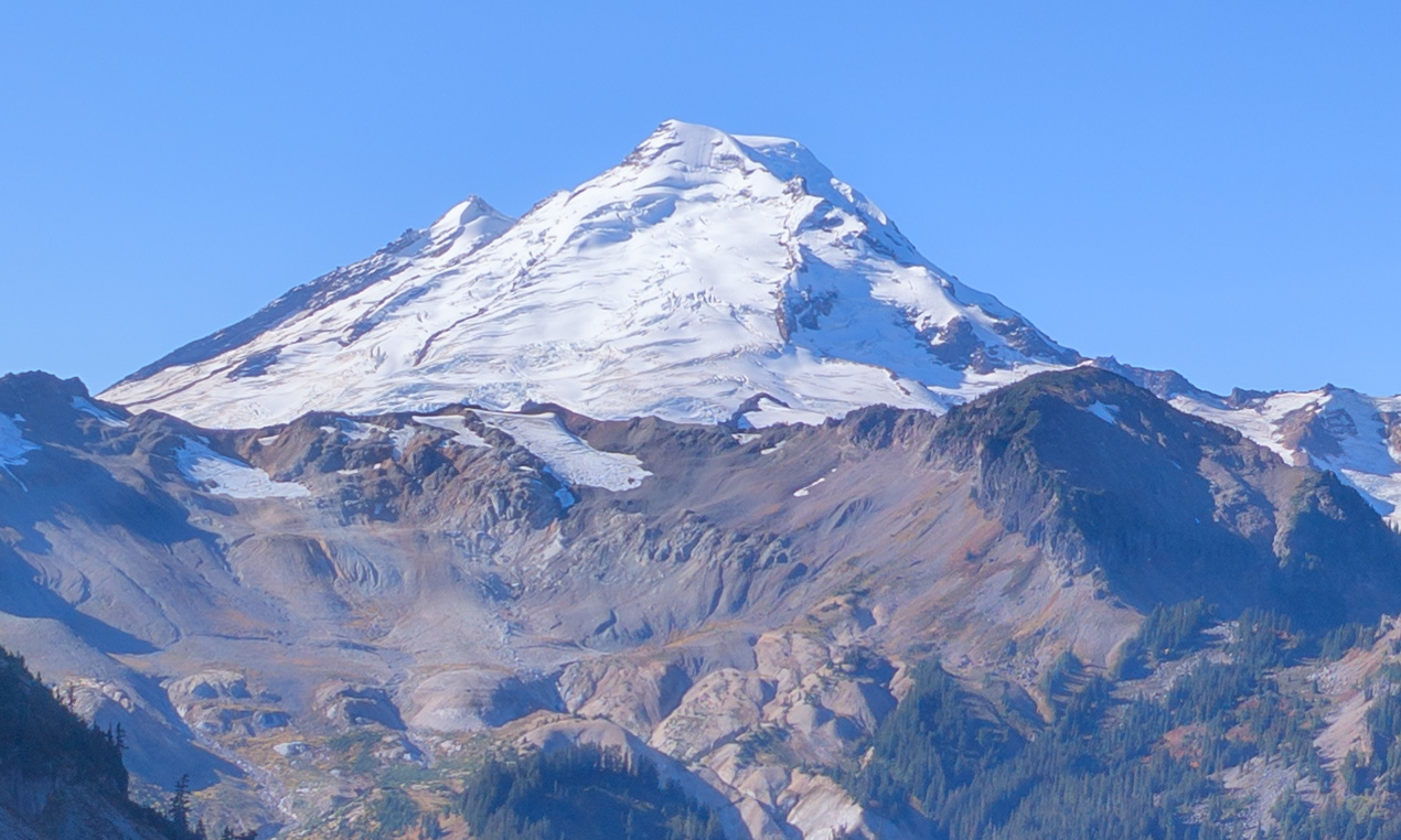
This page describes some Do It Yourself field trips in our area. The DIY field trips are meant to be easy to access and not require any specialized knowledge. Some, like beachcombing, will feature easy collecting while others are “look and see”. In addition, here are two other online sources: The Northwest Geology Field Trips blog and the Reading the Washington Landscape blog.
Crinoid Fossils at the ASB beach (Bellingham)
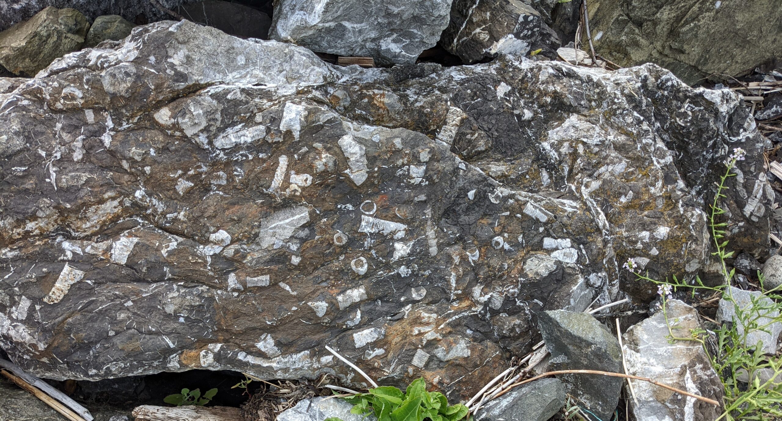
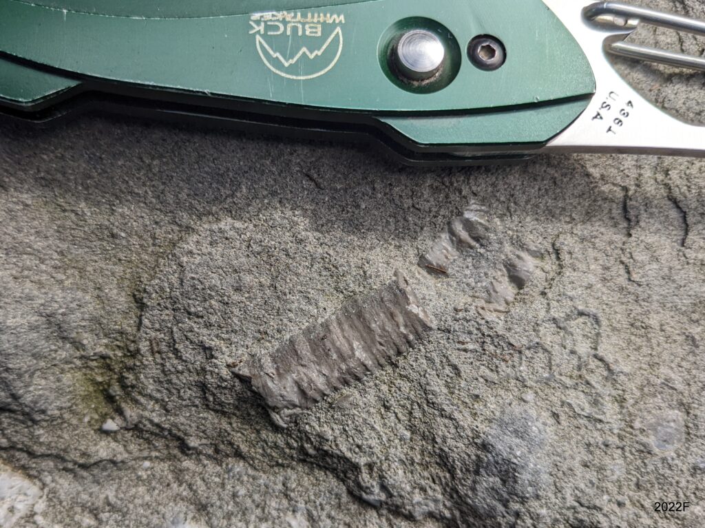
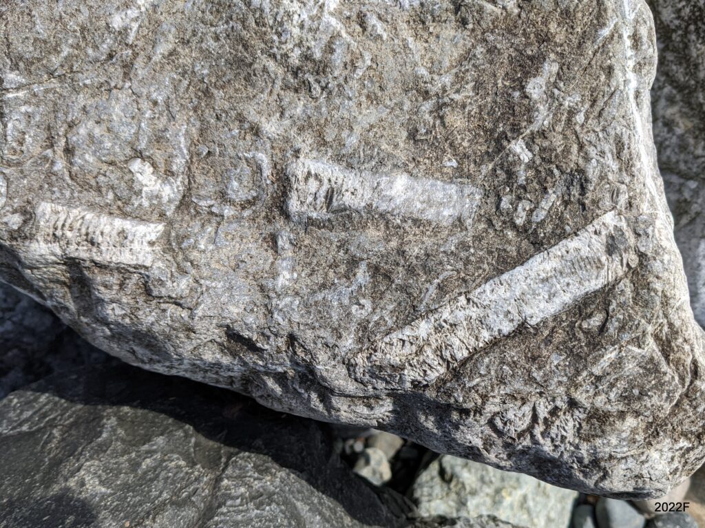
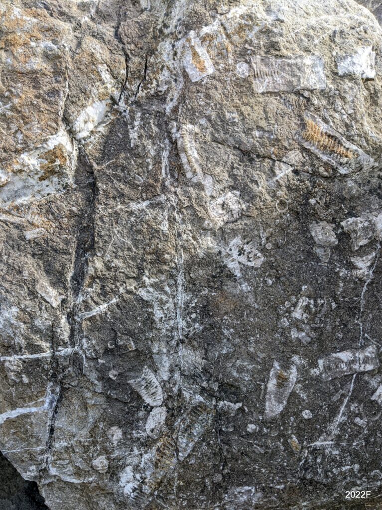
There is a small beach beside the old Aeration Settling Basin (ASB) in Bellingham Bay where most of the riprap between the beach and a boat storage yard is (likely) limestone veined with calcite. But there is one boulder with a lot of large crinoid fossils. This boulder probably came from the limestone quarry near Silver Lake, north of Kendall. The crinoids are of early Pennsylvanian age, i.e. about 300 million years old (Easterbrook, “A Walk Through Geologic Time from Mt. Baker to Bellingham Bay”).
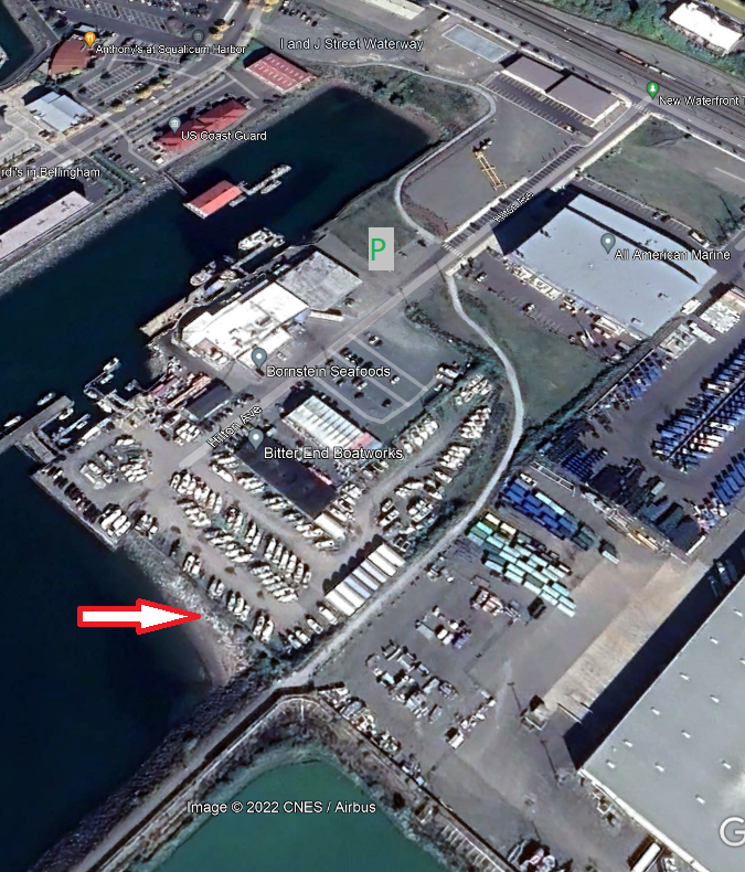
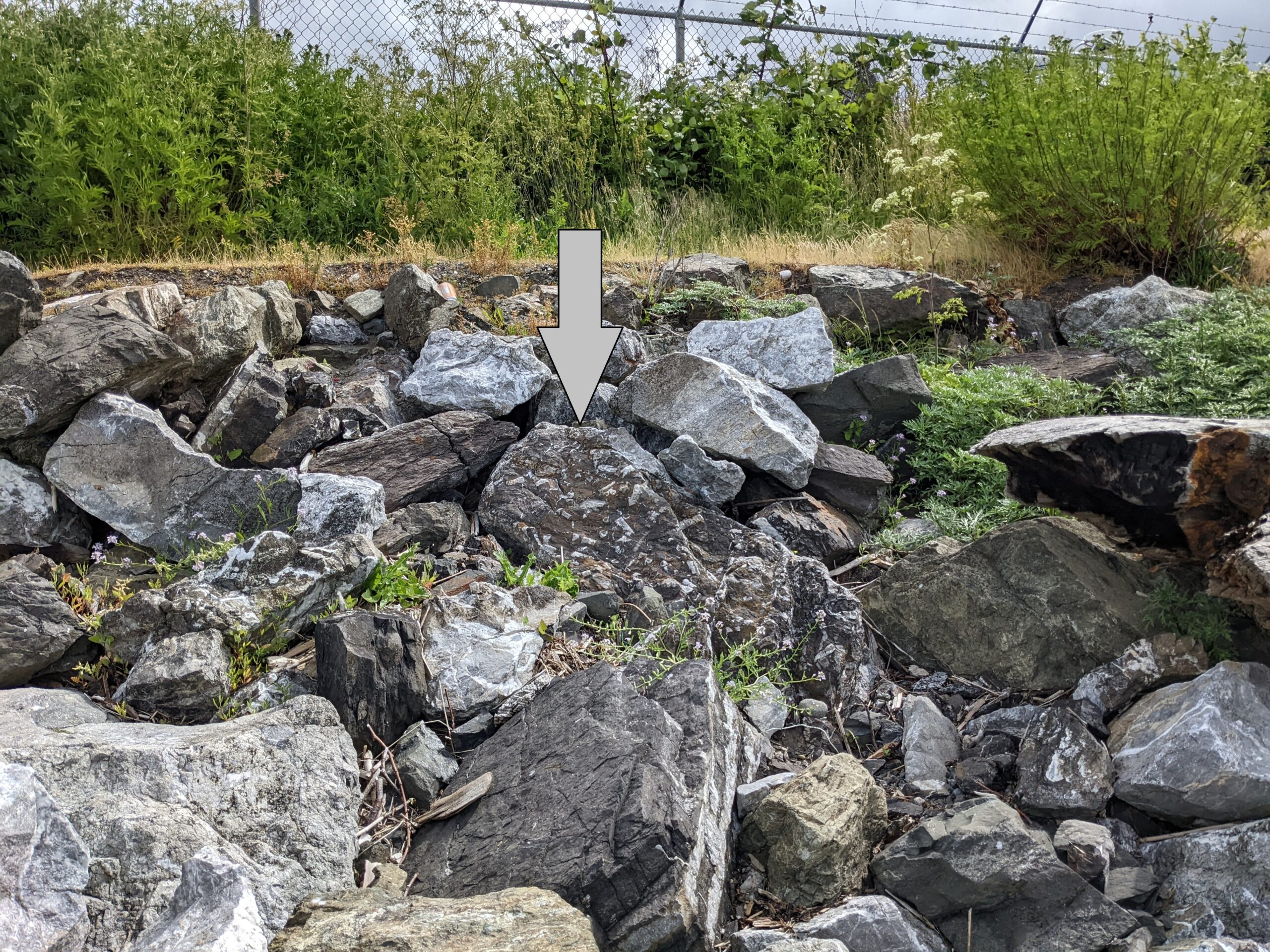
The photos show a close-up of the boulder, a locator photo for finding it, and an aerial view of where to park and find the beach. There is a small parking area across from the huge All-American Marine building. Take the gravel path across the road from the parking area and follow it to where the short staircase on your right goes down to the beach.
Crinoid Fossils Below the Old Cement Plant (Bellingham)
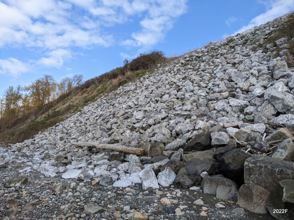
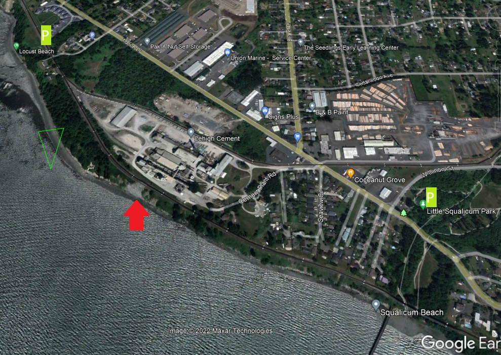
There is a high bank of riprap between the beach of Bellingham Bay and the old cement plant. The riprap is (likely) limestone veined with calcite but there are also accessible boulders containing crinoid fossils. These boulders likely came from the limestone quarry near Silver Lake, north of Kendall. Most of the boulders are right near the beach so you don’t have to climb up on the steep bank of possibly unstable riprap. The photos show examples of the crinoids and how to find the riprap area.
Park at either Locust Beach (very space limited) or the Little Squalicum Park. From the park walk down the path (a dog off-leash area) to the beach. Turn right (north) and go under the old pier. Keep heading up the beach and you can’t miss the riprap area. Time your visit for a medium to low tide.
Honeycomb Weathering
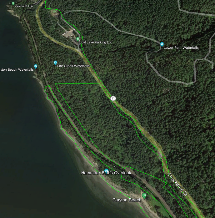
Honeycomb weathering is described at this page and is best viewed at Clayton Beach in Larabee State Park. Park at the park’s Lost Lake lot on Chuckanut Drive (see image below) (Discover Pass required). Cross the road and take the trail to Clayton Beach. (Note: in 2022 the trail is being revised and improved so observe alerts and warnings.) Time your visit for a low tide.
Beachcombing for Agate and Jasper
Beaches are best visited during falling tides and after storms have churned up new material. Here are several productive beaches to visit.
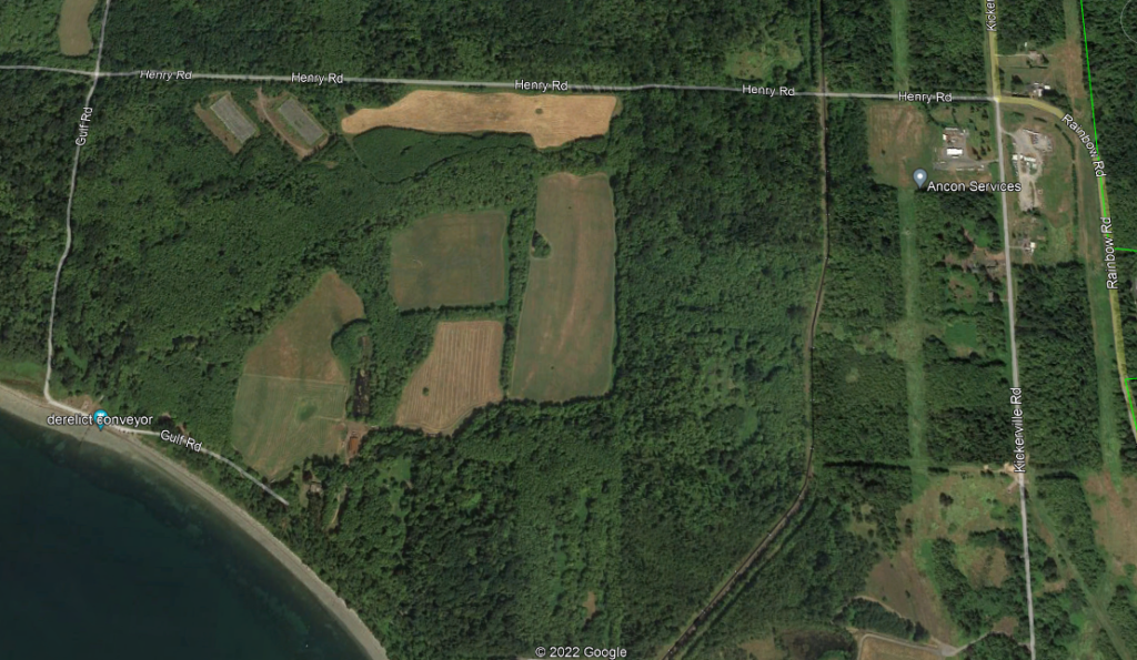
- Cherry Point Marine Reserve: Walk south (your left as you face the water). The farther you walk, the better luck you have as fewer other collectors will have walked as far. There is no privy available. Take Gulf Road to Henry Road and park along shore. If you see the derelict conveyor, you are in the right place! Time your visit for a medium to low tide.
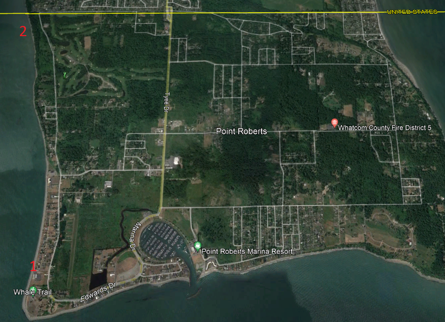
Point Roberts: Cross the border twice to reach Point Roberts. Option 1 is the beach at Lighthouse Marine Park, a state park, so a Discover Pass is needed. Option 2 is Monument Park right at the border on the western edge of Point Roberts. Park at the monument and walk down the steep path to the beach. You may have good collecting here since relatively few people visit this area.
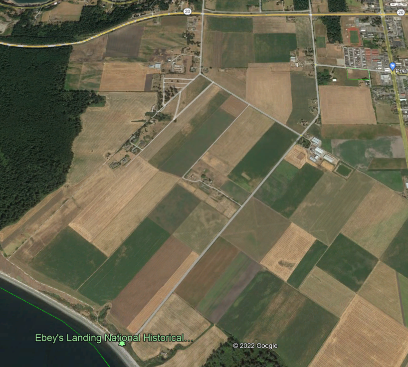
3. Ebey’s Landing on Whidbey Island: there is a small parking area at Ebey’s Landing (Discover Pass!) which gives you access to the beach as well as trail over the bluff and down to the beach. Again, the farther you walk, the fewer other people will have covered that ground. Privy available. Follow Route 20 past Oak Harbor to Ebey’s Landing Road (just before the intersection for Prairie Center). Turn right and follow that to the parking area where the label “Ebey’s Landing National Historical…” is on this view.
Geology Exhibits at Western Washington University
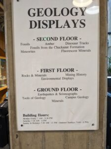
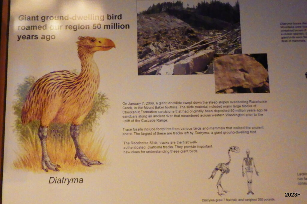
The Geology Department has three floors of exhibits in hallways (see photo below). These include local fossils, local rocks and minerals, mining history and tools of geology. Most notable are the tracks of a predatory dinosaur (see below) that were recovered after a landslide exposed them on Slide Mountain.
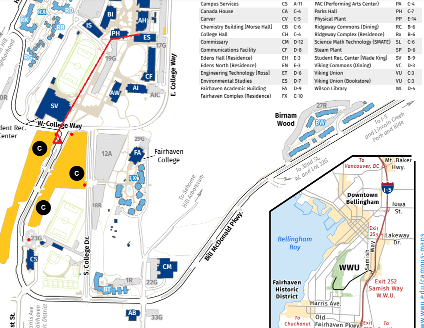
The exhibits are in the Environmental Sciences building which is open on weekends during the academic terms. Check building hours here. Parking is free on weekends. The modified map (below) shows parking lots in yellow and a red line indicating the walking path the ES building. Go up some steps to the entrance on Floor 1. Restrooms are easily found on the ground floor.
Olivine/Chromite (Dunite), Middle Fork Nooksack River
Find cobbles of Dunite along with Jasper and other interesting rocks at this site on the Middle Fork. The link goes to our page under Current Conditions that was created several years before I added this page on DIY field trips.
