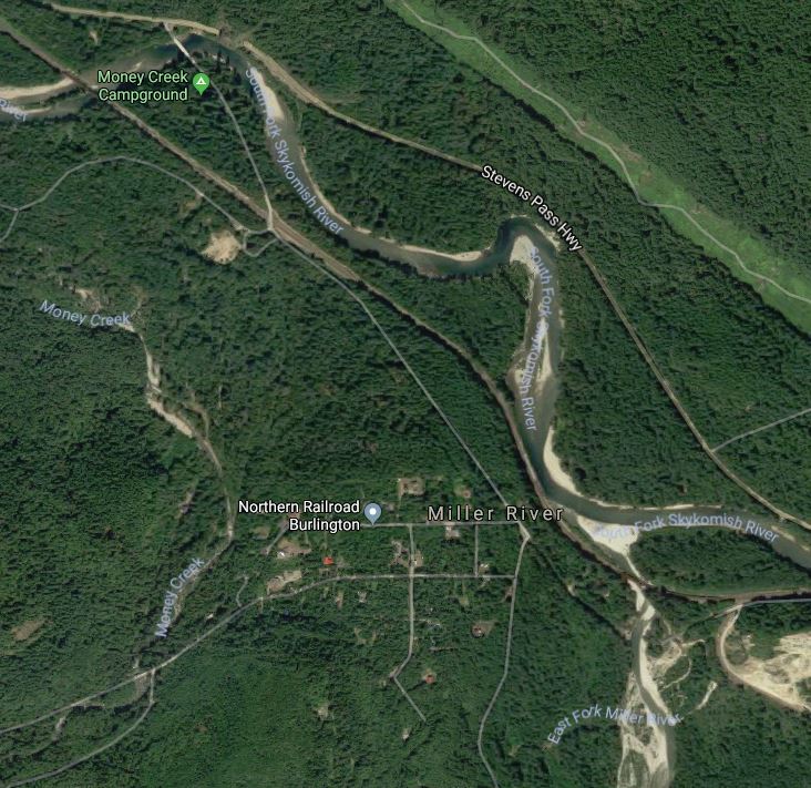
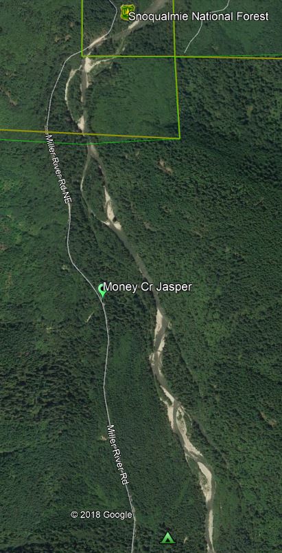
There is a map PDF (see below) provided by the Mineral Council’s Wagon Master in October, 2018. The site has picture jasper. The Mineral Council trip went to this site: Hwy 2 – look for Money Creek Campground sign – turn right – cross Skykomish River – NE Old Cascade Hwy – cross railroad tracks – NE Old Cascade Hwy is closed straight ahead – turn right to Miller Rd NE – (go past Money Cr campground) continued on Miller Rd NE for 1 1/2 to 2 miles to 47.700162, -121397499 (on Google maps). In satellite view you can see the up stream side of the creek on the left. The road goes over a large square concrete culvert. The collecting is best when the creek is dry.


